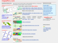
NDVI Imaging, Aerial Photography, Mapping, GIS A leading provider of airborne remote sensing to the vineyard and agricultural industry of Northern California. Products include NDVI, False Color Infrared Imagery, high reolution color film and digital imagery, and GIS mapping services. Grayhawk-imaging.com~Site InfoWhoisTrace RouteRBL Check